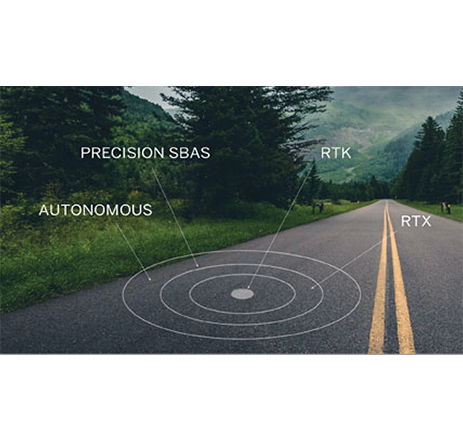
Advanced GNSS
RTK provides an accuracy of position or 1cm-2cm CEP-Horizontal in real-time.
L-Band (RTX) accuracy in the range of 1 decimeter: 4cm -10 cm CEP-Horizontal and is delivered via geostationary satellites. Likewise, SBAS which provides as accuracy 0.5m-1m CEP-Horizontal.
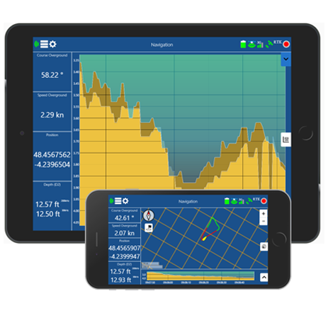
Embedded Software
With BALI, hydro surveying is very intuitive. Professional tablets and software are not mandatory, as BALI can work completely standalone or using any smartphone with its built-in software connected via Wi-Fi.
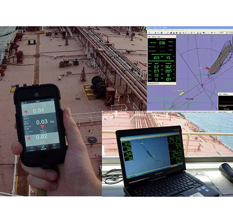
Real-Time Multiple Tracking
Thanks to a proprietary protocol developed, the data exchange amongst beacons is made via UHF radio. It allows several units to share the same channel by dividing the signal into different time slots.